Image 1 of 5
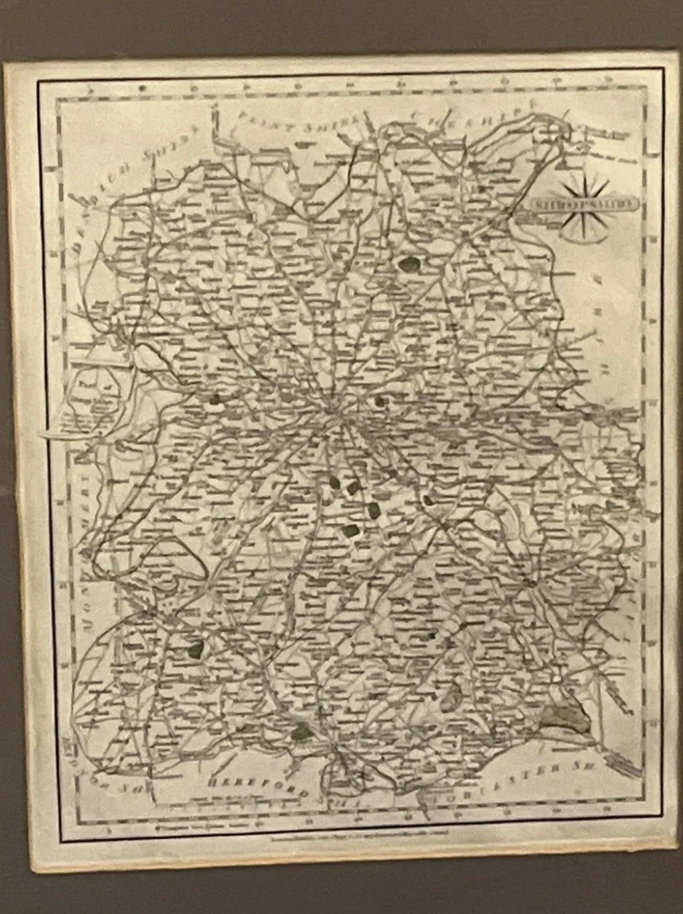 Image 2 of 5
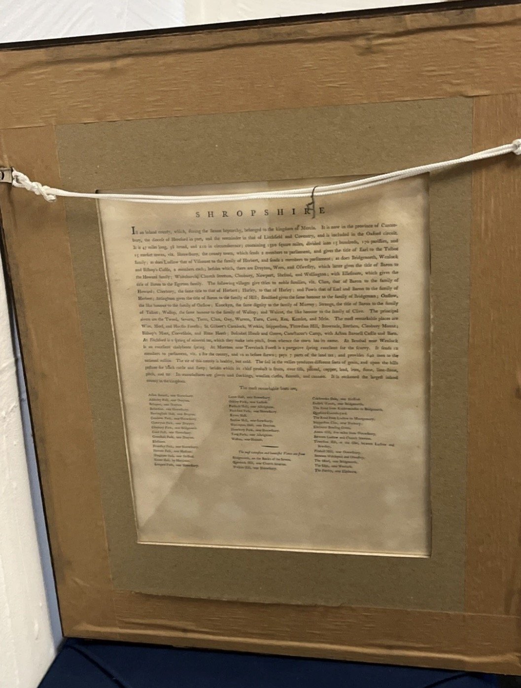 Image 3 of 5
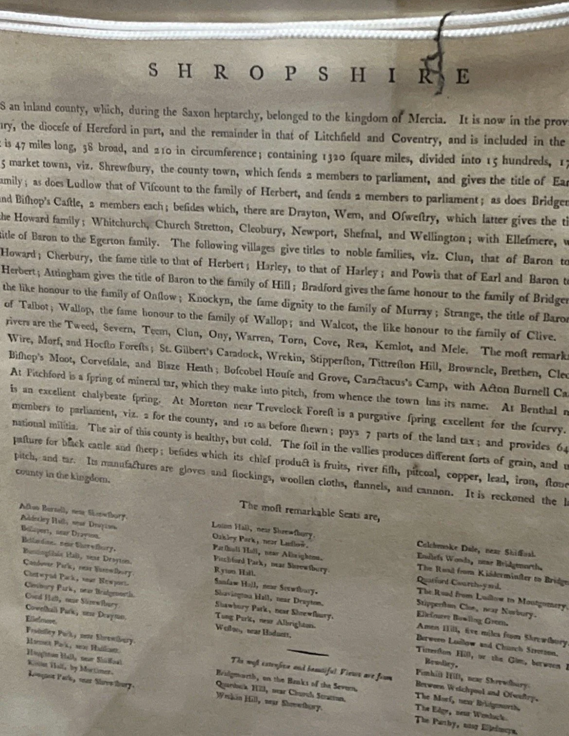 Image 4 of 5
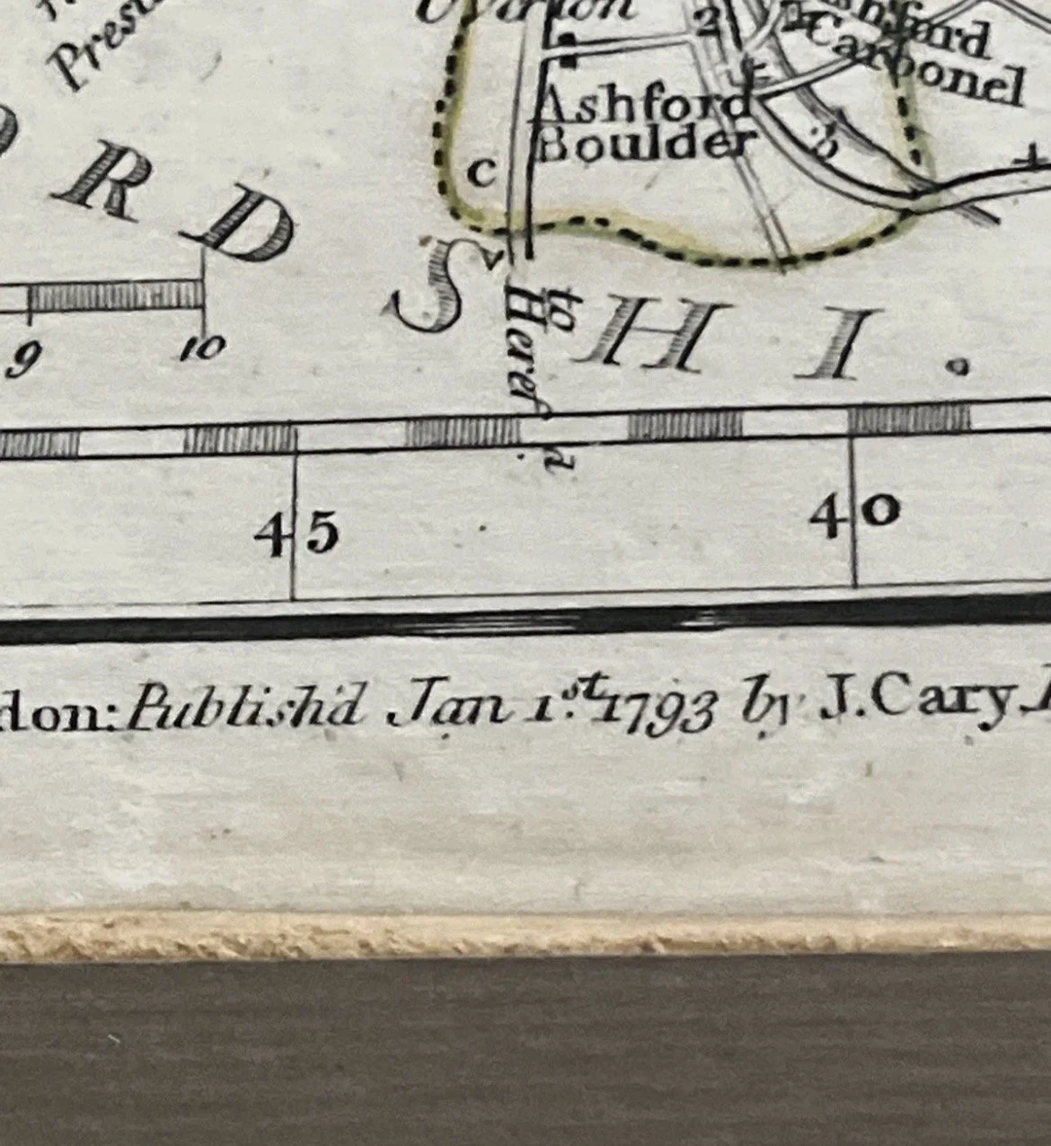 Image 5 of 5
This product is an antique county map of Shropshire published by John Cary in 1783. It is a copper plate printing, featuring detailed information of the county during the late 1700s. The map includes a document verso, providing additional insight into the era and historical significance of this piece. Produced in England, this original antique map captures the essence of Shropshire's geography and landmarks from that time period, making it a valuable collector's item for those interested in British cartography and history.
Front and back on display with map on front and county document on back.
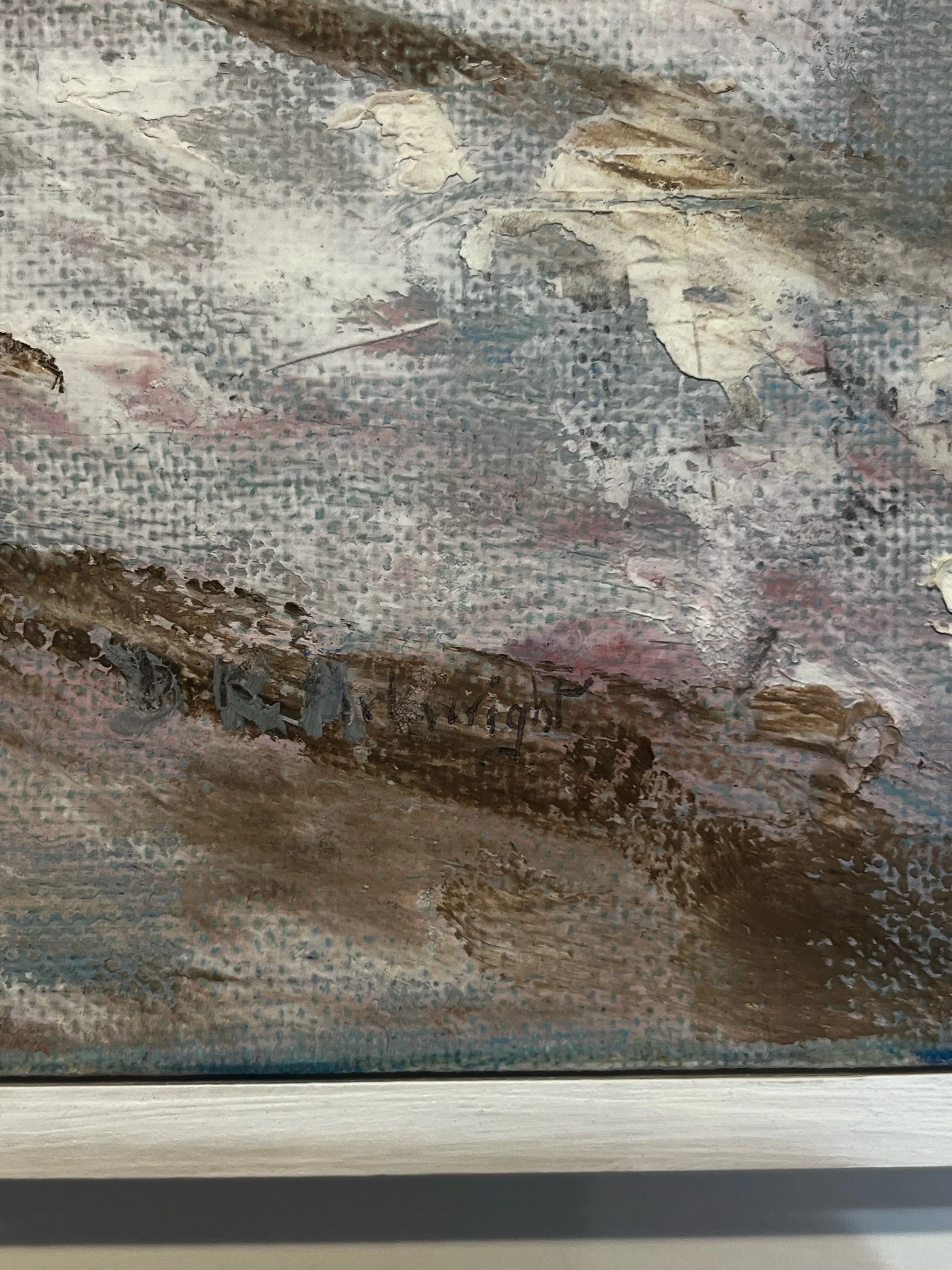
Condition report: some scuffs and scrapes to the frame but map and mount in excellent condition
This product is an antique county map of Shropshire published by John Cary in 1783. It is a copper plate printing, featuring detailed information of the county during the late 1700s. The map includes a document verso, providing additional insight into the era and historical significance of this piece. Produced in England, this original antique map captures the essence of Shropshire's geography and landmarks from that time period, making it a valuable collector's item for those interested in British cartography and history.
Front and back on display with map on front and county document on back.
Condition report: some scuffs and scrapes to the frame but map and mount in excellent condition